

Working environment
The terrain of the measurement area is steep, the cutting is deep, and the maximum height difference is 500m. It is difficult for the ground manpower and geophysical exploration to carry out operations. The traditional aeromagnetic survey method has the disadvantages of high operation difficulty, difficult deployment and high cost, and cannot complete the low-altitude flight detection along the relief of the terrain in the measurement area.
The intelligent aeromagnetic detection system
developed by Qingdao Haiyuehui Technology Co., Ltd. was used in this
work to collect aeromagnetic data on a scale of 1:10,000, covering a
total area of 14.52 square kilometers.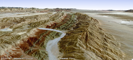
Job status
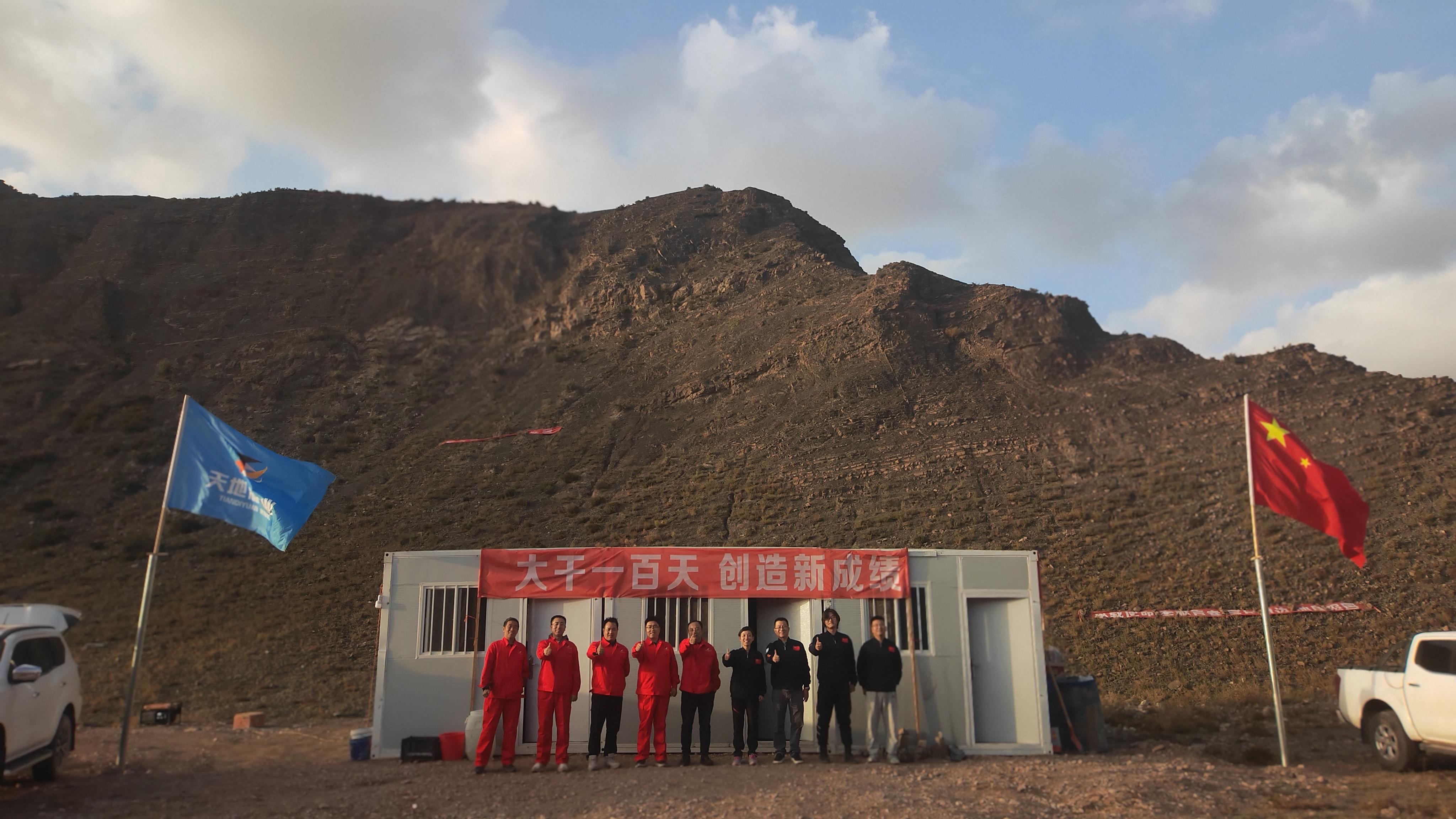
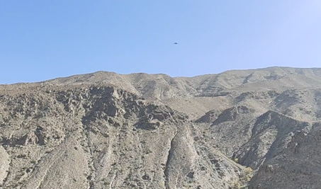
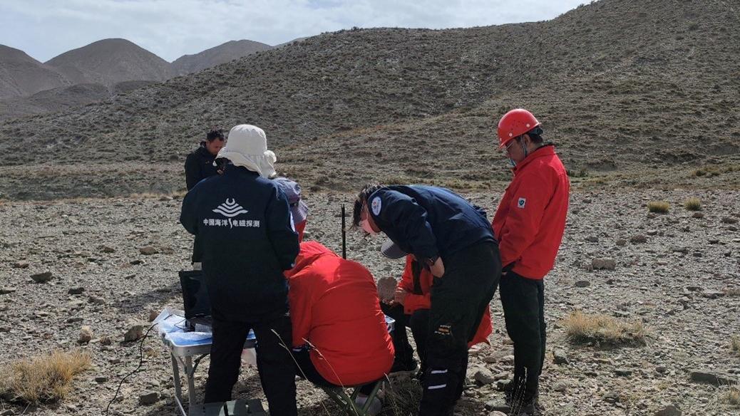
Compensation capability of aeromagnetic system
Standard deviationσ= 8.89 nT before compensation,
standard deviationσ= 0.56 nT after compensation, the improvement ratio
reached 15.78.It shows that our aeromagnetic system has high quality
compensation ability.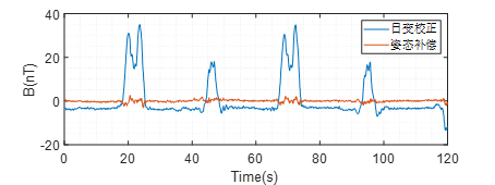
Magnetic mapping
The magnetic field distribution characteristics in this region can be plotted through large-scale tests: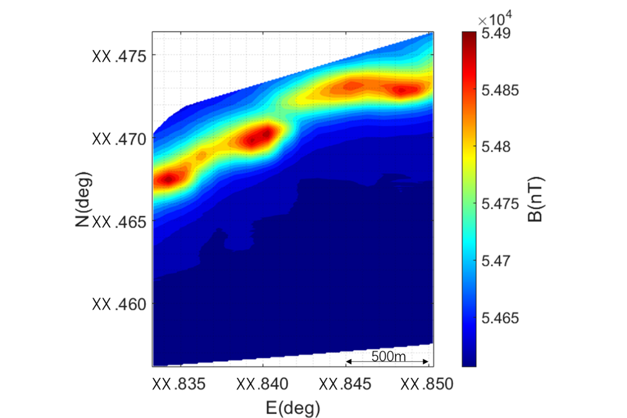
Data quality evaluation
The quality of aeromagnetic data was evaluated during the operation: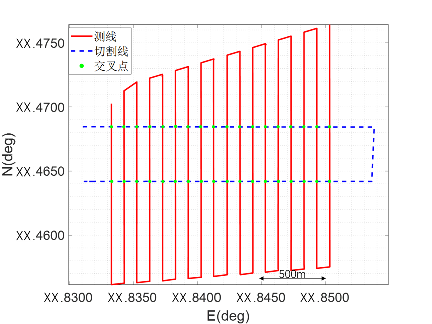
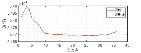
Through calculation, the aeromagnetic survey accuracy of this voyage reaches 1.7776nT. According to the standard specification, the measurement area achieved extremely high precision magnetic measurement.